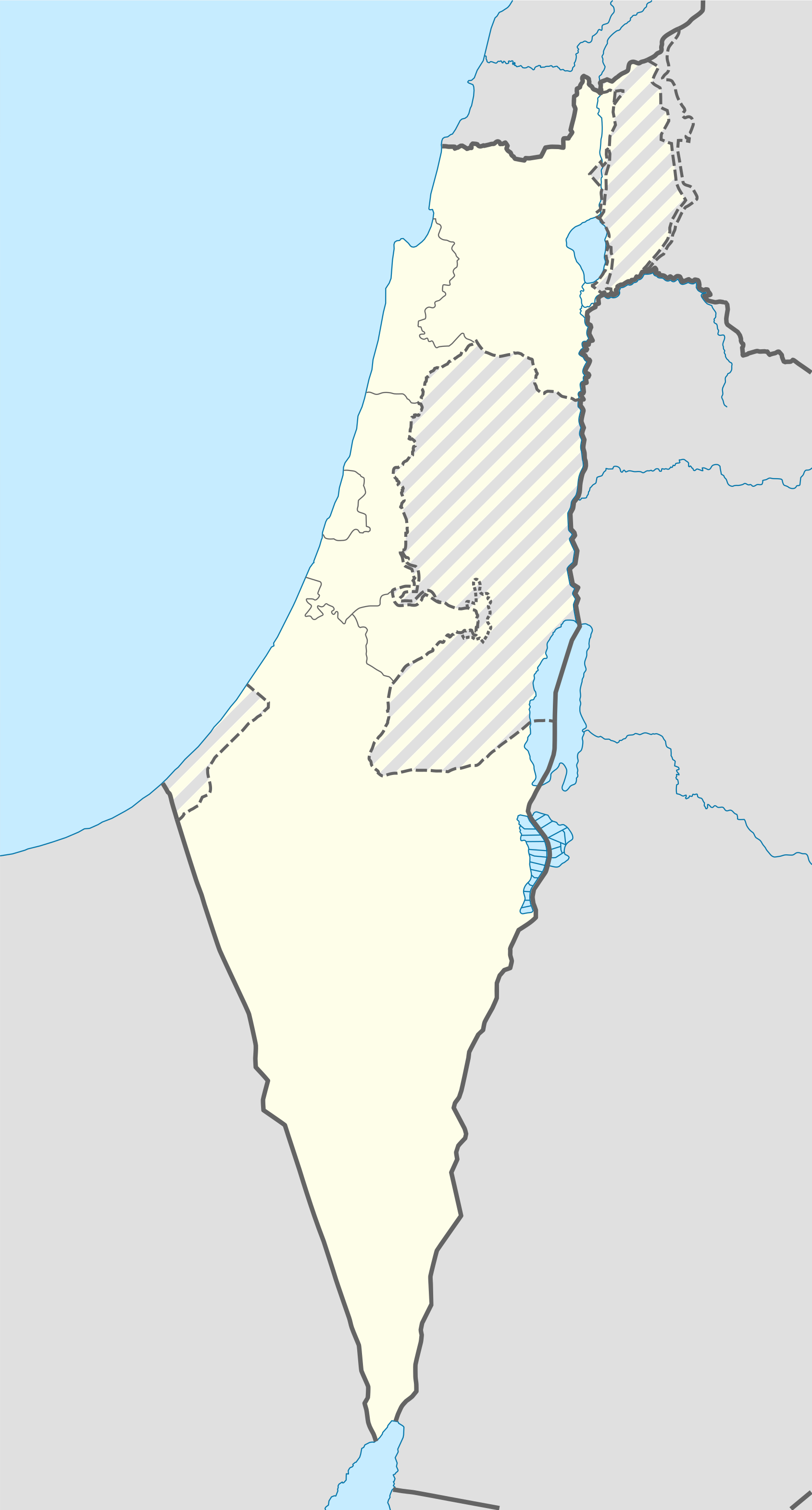
Template:Israeli-Palestinian conflict detailed map
Jump to navigation
Jump to search
Hold cursor over location to display name; click to go to sources &/or status description (if available, the cursor will show as  ; if not, it will show as
  ).
).
 Dam;
Dam;  Rural presence
Control
Stable mixed control
Contested
![]() Inner controls, outer sieges (or strong enemy pressure);
Inner controls, outer sieges (or strong enemy pressure);
![]() Enemy pressure from one side; Small icon within a larger icon: The situation in individual neighbourhood/district
Enemy pressure from one side; Small icon within a larger icon: The situation in individual neighbourhood/district
![]() Airport/Air base;
Airport/Air base; ![]() Heliport/Helicopter base;
Heliport/Helicopter base;
![]() Military base;
Military base; ![]() Strategic hill;
Strategic hill; ![]() Oil/gas;
Oil/gas;
![]() Industrial complex;
Industrial complex; ![]() Border Post;
Border Post; ![]() Major port or naval base;
Major port or naval base;
| This template uses Lua: |
Transclude this template by using {{Israeli-Palestinian conflict detailed map}}. No parameters should be provided.
| The above documentation is transcluded from Template:Israeli-Palestinian conflict detailed map/doc. (edit | history) Editors can experiment in this template's sandbox (create | mirror) and testcases (create) pages. Please add categories to the /doc subpage. Subpages of this template. |
